About Forest LiDAR
We deliver forestry and land management analytics from LiDAR, multispectral, thermal and RGB photogrammetry across the UK.
Our mission is to make forest and land management measurable, auditable and practical, combining advanced drone technology with decades of field and industry experience. From nurseries to upland plantations, we translate complex data into straightforward KPIs that woodland managers can actually use.
What we do
- Forest inventory: stocking density, survival counts, height/CHM summaries and species/age rollups.
- Condition & risk: windthrow, encroachment, heat/NDVI anomalies, drought stress and canopy gaps.
- Nursery analytics: A/B/C grading, sapling counts, average bed heights and split-stem rate.
- Utilities & corridors: DTM/DSM for access, vegetation encroachment and structural clearances.
- Carbon baselining: Above-ground biomass and carbon stock estimates with repeat surveys for sequestration tracking.
- Environmental surveys: Hedgerow mapping, habitat connectivity, NDVI/thermal anomaly detection and biodiversity support metrics.
Meet the team

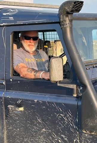
Mark Carr
Operations, Legal & Forensic Imaging
Experience: Former solicitor and commercial photographer. GVC-qualified drone pilot with expertise in visual, thermal, and multispectral surveys, mapping, and inspection.
Responsibilities: Leads operations, flight planning, and mission delivery. Oversees permissions, compliance, and on-site safety to ensure every flight is conducted to the highest standard.

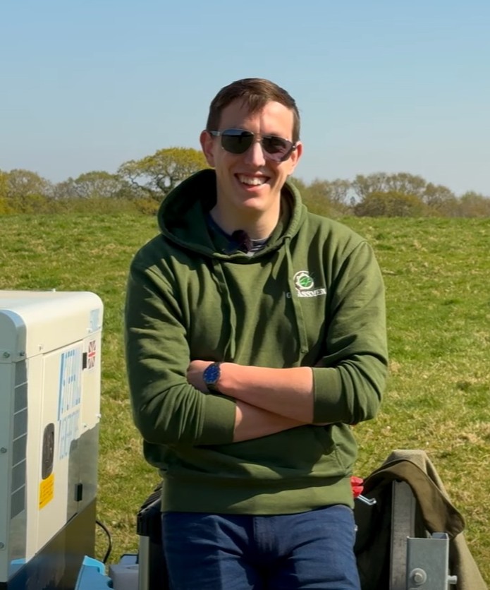
Iurii
Iiuri Adams
Quality Assurance, Product & Services Development
Experience: Former Forestry Commission senior manager and biologist. GVC and heavy-lift qualified drone pilot with expertise in agricultural and forestry spraying operations.
Responsibilities: Leads quality assurance, product and service development and testing, as well as flight planning and mission execution.
Barry Jones
Logistics, IT Systems & Field Operations
Experience: Ex-forces and IT developer. GVC-qualified drone pilot using RGB and LiDAR platforms for mapping, surveys, and inspections.
Responsibilities: Leads logistics, IT systems and development, field safety, flight planning, and mission delivery.

Jack Jones
Utilities, Vegetation & Field Operations
Experience: Ex-forces; line clearing and tree felling. GVC and heavy-lift drone pilot with spray-drone and survey experience.
Responsibilities: Utility operations, flight planning, and mission execution.
Ben Jenkins
Engineering & Special Operations
Experience: Ex-forces engineer and agricultural contractor. GVC-qualified drone pilot with spray-drone and survey experience.
Responsibilities: Special operations, flight planning, and mission delivery.
Why our team is different
Forest LiDAR works because the pieces fit. Legal and forensic imaging rigour keeps scoping, permissions and evidential standards tight. Forestry-commission–level leadership and silviculture depth shape how we plan and interpret. Veteran, SAP-driven logistics make mobilisation predictable and safe. Utilities vegetation and GIS reporting bring corridor pragmatism and clear mapping. Marine-engineering discipline with QA automation makes the workflow repeatable end-to-end. The result is one team that treats safety, airspace and RAMS like lawyers, plans like foresters, operates like logisticians, and validates like engineers—every pilot CAA GVC-qualified, with in-house spray-drone experience.
That mix shows up in outcomes, not slogans. We fuse LiDAR, multispectral, thermal and RGB, then back it with coverage, alignment and point-density QA so numbers stand up to audit. We turn point clouds into actionable KPIs—stocking and survival, canopy height (CHM) and gaps, encroachment and clearances, biomass and carbon baselines—with repeat surveys for measurable change. Deliverables land in the tools you already use (concise PDF/DOCX, GIS layers, ready-to-open QGIS projects), so managers, estates and utilities teams can act the same day. Less noise, faster decisions, accountable data from field to boardroom.
Our approach
Forest LiDAR combines drone-based LiDAR, multispectral, thermal and RGB to generate reliable data across the forest lifecycle. We embed quality assurance (coverage, alignment, density checks) into every project and deliver outputs in formats managers already use: PDF/DOCX reports, GIS layers and QGIS projects.
Our values
Sustainability
We support regenerative forestry, biodiversity and carbon accountability by ensuring all outputs contribute to a longer-term sustainability plan.
Integrity
Our work is backed by transparent QA, compliance with CAA standards and data that can be verified independently by clients.
Innovation
We actively explore new drone payloads, AI-driven analysis and data fusion techniques to deliver better insights and efficiency for woodland managers.
Clients & Partnerships
We work with forest nurseries, private woodland owners, large estates, utilities and infrastructure managers. We are also active participants in industry networks, collaborating with associations, contractors and research projects to improve forestry outcomes nationwide.
Where we work
We operate across England, Wales, Scotland and Northern Ireland. Flights are planned around CAA airspace constraints and local permissions; the Pilot in Command has final authority on-site for safety and compliance.